


The Defense Advanced Research Projects Agency (DARPA) is seeking innovative technologies and methodologies to map and survey subterranean environments for its Subterranean Challenge.
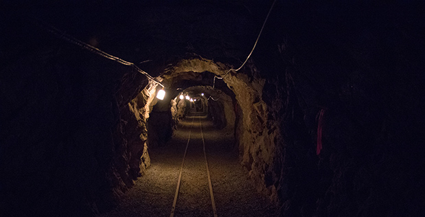
Most underground environments are either uncharted or inadequately mapped. The technologies could improve disaster-relief missions and increase the speed and accuracy of warfighters in time-sensitive active combat operations.
The technologies cannot be cost prohibitive and must make it possible to explore environments that are too dangerous for people. The technologies can be software, commercial products or services that offer high-fidelity, 3D mapping and surveying.
DARPA is particularly interested in technologies that offer high accuracy and high resolution while also providing precise and reproducible survey points without reliance on substantial infrastructure.
“What makes subterranean areas challenging for precision mapping and surveying – such as lack of GPS, constrained passages, dark or dust-filled air – is similar to what inhibits safe and speedy underground operations for our warfighters,” Timothy Chung, DARPA’s Tactical Technology Office program manager, said. “Building an accurate three-dimensional picture is a key enabler to rapidly and remotely exploring and searching subterranean spaces.”
The submission deadline is April 15.
Applicants might be asked to demonstrate their technologies or methods to locate artifacts placed within a course. Performances would be scored.