


Research efforts led by the Universities of Washington and Stanford have demonstrated that efficient tracking of widespread tropical disease spread could benefit from satellite images and drone photos.
“This is a game-changer for developing-country public health agencies because it will make it possible for them to efficiently find the villages that need their help the most,” Chelsea Wood, an assistant professor in the UW School of Aquatic and Fishery Sciences and the study’s lead author, said.
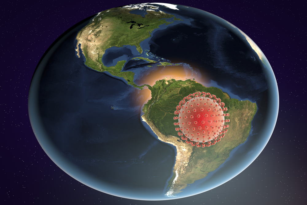
Mixing these images with rigorous field sampling, the researchers focused on tracking transmission hotspots for schistosomiasis, a parasitic disease afflicting more than 200 million people currently. It is spread by worms, which penetrate human skin in freshwater. The end results are bloody urine and stool, abdominal pain, and damage to numerous internal organs. It’s prevalent in sub-Saharan Africa, South America, the Caribbean, the Middle East, as well as East and Southeast Asia.
While there are treatments available to control it, the World Health Organization has found that distribution has failed to have an effect in certain regions. Enter the American researchers, who went to more than 30 sites in northwestern Senegal, where villages will use a local river and lake for many water-linked tasks. There, researchers set about counting and mapping snails — which can host the worms — for two years. But the snails proved transitory, so they refocused on the habitat where the snails lived — unrooted, floating vegetation visible by satellites and drones. Then they began to use models to predict transmission and spread.
“Counting snails is not an easy undertaking, and it also produces data that are not as useful as the data you can get from a drone,” Wood said. “Once we understand the association between snail presence and particular habitat features, we can use drone and satellite imagery to detect those habitat features. This cuts the time needed to evaluate the risk of schistosomiasis infection down to a fraction of what it would be if you were just looking at snails.”
Public health agencies in Senegal now have access to these aerial images. In the future, the researchers hope to use machine learning to automate the process of identification in these photos, to make data processing even easier. They also hope to scale the project up to other parts of Africa.
“We’re cautiously optimistic, but we still have some work to do to generalize our findings to new contexts,” said co-author Susanne Sokolow, a research scientist at Stanford University. “If, indeed, we find that the predictors for schistosomiasis are scalable and automatable, then we will have a powerful new tool in the fight against the disease, and one that fills a critical capacity gap: a way to efficiently target environmental interventions alongside human treatment to combat the disease.”
Their current research was published this week in the Proceedings of the National Academy of Sciences.