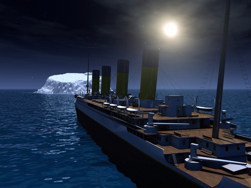
Hitting back at what once destroyed its historic forebear, Project Titanic – an initiative from the U.S. Department of Homeland Security’s (DHS) Science and Technology Directorate (S&T) – is under development to improve maritime safety and navigation in the North Atlantic Ocean through modern technology.
“Floating icebergs like the one the Titanic struck on April 15, 1912, pose the same navigational hazards today as they did 110 years ago,” said Kathryn Coulter Mitchell, DHS senior official performing the duties of the Under Secretary for Science and Technology. “That disaster prompted seafaring nations on both sides of the Atlantic to form the International Ice Patrol (IIP). To this day, the Coast Guard conducts this vital mission to protect ships, oil rigs, and other maritime assets from succumbing to a similar fate. When complete, the Project Titanic technology will help the IIP provide even more comprehensive and timely maritime safety information on iceberg locations.”
Project Titanic seeks to combine satellite-based Synthetic Aperture Radar imagery with ship reporting systems. Together, they will help the maritime community to detect, identify and report icebergs and avoid collisions.
Since the end of WWII, the IIP has relied on aircraft to conduct such aerial ice reconnaissance, but this method has drawbacks. For one thing, those efforts cost the U.S. Coast Guard alone more than $10 million annually. Missions are also susceptible to bad weather and low visibility, bringing their usefulness into question.
Satellite-based imagery would not be susceptible to darkness, overcast conditions, or other challenging weather interfering with sky-based efforts. It could also reach and monitor harder-to-reach locations on a larger scale and provide greater advanced warnings of how heavy an iceberg season to predict. Further, the technology has already proven itself in flood response and other situations.
“The increasing availability, timeliness, and improved resolution of commercial Synthetic Aperture Radar systems will revolutionize iceberg surveillance,” Coast Guard Cmdr. Marcus Hirschberg of the International Ice Patrol said.
The project is in development but is currently set for testing through 2023. After that, the IIP hopes to integrate its capabilities into regular operations.

