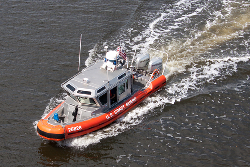
A database of national waterways known as the Harmonized Waterway project will soon be hosted and maintained by the U.S. Coast Guard, offering free access to the public for navigation, study, and monitoring.
The Marine Safety Information (MSI) previously required referencing the National Oceanic and Atmospheric Administration (NOAA) paper chart identification name/number to the harmonized waterway name so that the transition will pull geospatial data on the nation’s waterways into the digitized modern age.
“The Harmonized Waterway dataset will make it possible for anyone using U.S. waterways—from ships engaged in international trade and commercial fishermen to recreational boaters—to go online to find the navigational information they need to sail in U.S. waters,” Dr. Dimitri Kusnezov, Department of Homeland Security Under Secretary for Science and Technology, said.
By synchronizing data, these efforts will allow the maritime community to catalog and merge names and abbreviations for rivers, bays, and landmarks, meaning a potential reduction in confusion and disagreement since these names can vary between local, state, and federal agencies. The move also represents a major step toward interagency cooperation, offering a central point of reference under the U.S. Committee on the Marine Transportation System (CMTS).
“The transition away from paper charts and manual application of MSI to electronic charts allows the Coast Guard to improve our delivery of critical safety information to the mariner and represents a major milestone in our efforts to implement the CMTS Strategic Implementation of e-Navigation,” Mike Emerson, the Coast Guard’s director of Marine Transportation Systems, said.
The full transition should begin in 2023, after which waterway users, managers, researchers, and industry leaders should theoretically face a more flexible and routinely updated system.


