


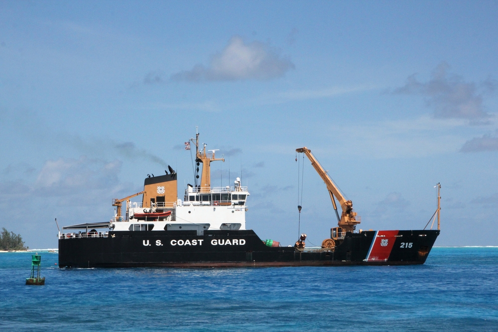
A storied system developed by the Science and Technology Directorate’s Center of Excellence and utilized by the U.S. Coast Guard is going a long way to analyzing its stations’ strengths and weighing how best they can be utilized.
The assessment was released by the Coast Guard and specifically addressed their Search and Rescue Visual Analytics (cgSARVA) system. It is a visual platform centered on its users, which was notably tapped during the 2012 issues with Hurricane Sandy. This was due to its capability for Coast Guard operators to spot stations most capable of responding to disasters, and thus prioritize the restoration of stations in need of repair. It has also been used to identify stations that can be closed due to overlapping coverage.
The program operates by pulling data from the Coast Guard’s Marine Information for Safety and Law Enforcement database and stacks them against a system of filters to judge the effectiveness of response under certain parameters.
“CgSARVA has continued to evolve to include additional data sources, features, and analysis to provide more functionality to the U.S. Coast Guard,” David Ebert, director of VACCINE at Purdue University and one of the program’s partners, said. “The basic structure of cgSARVA can be used for analysis, resource allocation, and planning in a variety of applications, including law enforcement, public health, public safety, and supply chain logistics.”
Today, the Coast Guard is also using the program in conjunction with the U.S. Government Accountability Office as they assess the strength of their 190 boat stations and 24 air stations. GAO itself has reported on the usefulness of the system in achieving this, based largely around its metric capabilities–be they geography, boat speeds or aviation-linked. In fact, its analytical potential was described as “limitless” by the Department of Homeland Security.